
Product Code:
602026-1
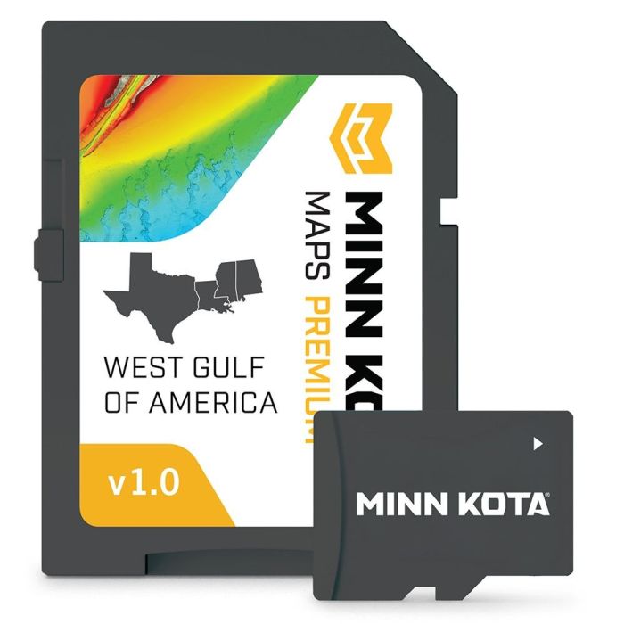
Minn Kota Maps Premium - West Gulf of America v1.0
Our price:
$419.99
Minn Kota Maps Premium - West Gulf of America v1.0
- Premium saltwater mapping for the West Gulf of America provides detailed coastal data for nearshore and offshore fishing.
- Precision Mapping delivers detailed depth contours with up to 1-foot contour accuracy where supported.
- Vector-accelerated technology provides responsive map performance and customizable color palettes.
- Depth Highlight allows users to highlight selected depth ranges to identify productive fishing areas.
- Shallow Water Highlight displays adjustable red shading for shallow areas from 0 to 60 feet.
- Water Level Offset adjusts chart contours and shorelines to reflect actual water levels.
- Aerial Imagery provides additional visual detail to help identify coastal features and potential fishing locations.
- 2D Shaded Relief enhances bottom terrain visibility, making depth changes and underwater structure easier to identify.
- Chart Presets allow quick switching between customized map display settings.
- SmartStrike™ technology highlights potential fish-holding areas on select HD lakes where supported.
- Advanced Waypoint Management works with the Minn Kota® Fishing App to scout, organize, sort, and edit waypoints.
- Minn Kota® System Integration allows compatible trolling motors to automatically follow depth contours through a compatible fish finder.
- Compatible with select Minn Kota™ and Humminbird® fish finder models.
- Includes a 1-year cartography warranty.
- Product: Minn Kota™ Maps Premium West Gulf of America
- Version: 1.0
- Product Type: Premium Saltwater Mapping Cartography
- Coverage Region: West Gulf of America
- Application: Coastal, Nearshore, and Offshore Fishing
- Compatible Minn Kota™ Fish Finders: X SERIES™ and A SERIES™
- Compatible Humminbird® Fish Finders: XPLORE™, APEX™, SOLIX™, and HELIX™ G3/G3N/G4/G4N
- Mapping Detail: Up to 1-Foot Contours Where Supported
- Mapping Features: Depth Highlight, Shallow Water Highlight, Water Level Offset, Aerial Imagery, and 2D Shaded Relief
- Fishing Features: SmartStrike™ on Select HD Lakes Where Supported
- Waypoint Management: Compatible with Minn Kota® Fishing App
- Trolling Motor Integration: Depth Contour Following with Compatible Minn Kota® Systems
- Warranty: 1-Year Cartography Warranty
- Return Policy: Opened Packages Are Not Eligible for Return
- Minn Kota™ Maps Premium West Gulf of America v1.0 Cartography